Goat Canyon Trestle Hike
Distance: 6.5 miles .Elevation Gain: 1500 feet. Time to complete: 5-6 hours ( round trip)
To Get there: From Interstate 8 at Ocotillo, drive 4 miles northwest on Highway S-2 to the unpaved Dos Cabezas Road on the left, signed EC119. You should see a field of windmills and one of the first buildings you will pass will be a tower and a maintenance yard for Siemens who takes care of the Ocotillo Wind project. Go south on this road and veer right after 1.1 miles. Continue another 4.5 miles west, staying north of the tracks, and look for the paved railroad crossover on the left. Cross to the south side of the tracks, and continue west a short distance. Then veer left ( southwest, away from the tracks) and proceed 0.9 miles to a road fork. Bear left there, and stay left again after another 0.3 miles. Drive 0.4 miles further (past an isolated, rocky hill on the left, and turn right toward Mortero Palms. Go 0.5 miles to the roads end overlooking a wide wash. Trailhead ( warning – do not use google maps to tell you the directions to the trailhead, it will take you the long way around. Also realize that Google earth and Google maps do not show the windmills)
Bathroom Facilities: There are none, use the bush’s. Make sure you bring yourself a trowel and some T. P
Water: Make sure you bring a lot, a big guy like me will go through at least 2 – 3 Liters. I would also bring some sort of electrolyte to help with possible cramping.
Footwear: Bring good hiking boots, your going to need them. I would not suggest hiking poles though, I think they will just get in your way, you will need both hands free for parts of the trail.
Great historical video on the area:
Great video of a train ride through the Carrizo Gorge: Its a long video, so if you want to skip ahead you will see Goat Canyon and the train trestle between 32:51 – 37:22
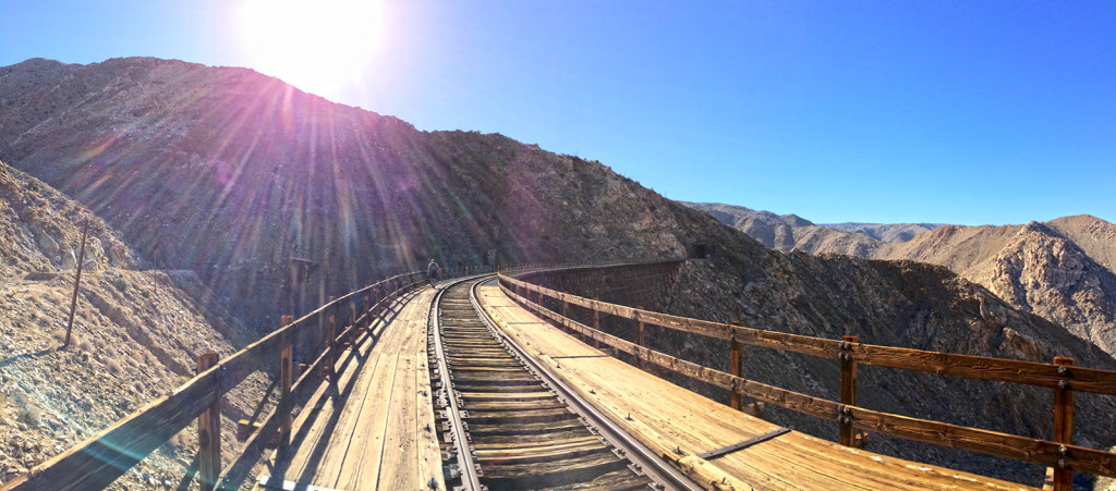
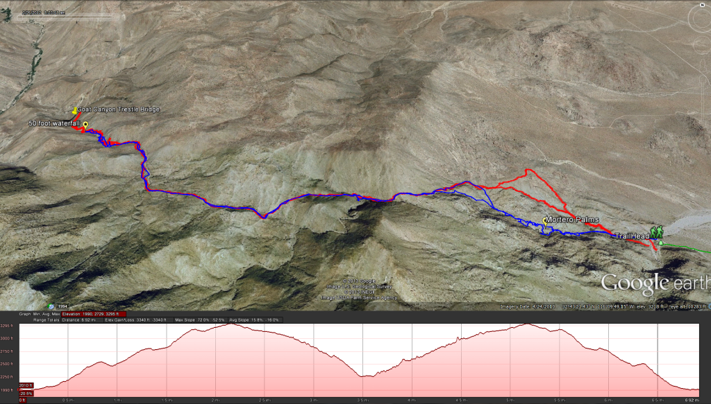
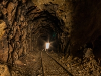
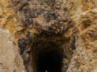
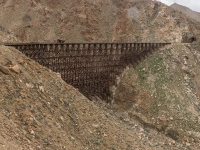
Once you get to the trail head you should see a post sticking out of the ground pointing the way towards Mortero Palms, its the Canyon to the Northwest of the trail head, not the easy looking one to the south. A path going west follows the wash for a while and then splits, going west towards the Morteros Palms and another path going north up and around the palms (which is the path I took, if you look at the map above you will see my path in red and another path in blue that goes through the palms) You will continue on either path until you get to about 2440 feet and hit a little bit of a valley (saddle) at the top. Watch out for all the “teddy bear cholla“, they can get you and be nasty little buggers to get out of your skin. It is suggested that if you hike in the dessert that you should at least carry a hair comb so that if you get stuck with one of these little buggers you can stick the comb in between the cactus and you and flick it away, otherwise its a pain in the ass to get off, you may also want to have a pair of pliers (multi-tool) to wrench any remaining spines that might have broken off out of your skin. Once through the saddle head west and south west into the Goat Canyon Drainage. This is where the terrain gets tough. It starts off slow but the walls of the canyon will quickly climb as you go down and before you know it you will be at the lip of the waterfall at about the 2700 foot level. Its only about 50 feet down, but it looks daunting. If you want to continue down, head up and towards the left side of the canyon at the waterfall lip, and then make your way down the shear rock faces to the bottom of the water fall. Once you get down its much easier going. keep proceeding down and you should get to the train trestle in no time. Check out the bridge, you can walk over it, and or go into the tunnels, just keep an eye on the time so you have enough lead time to get back to the trail head before it gets dark.
Weather forecast for the Mortero Palms to Goat Canyon Hike:
