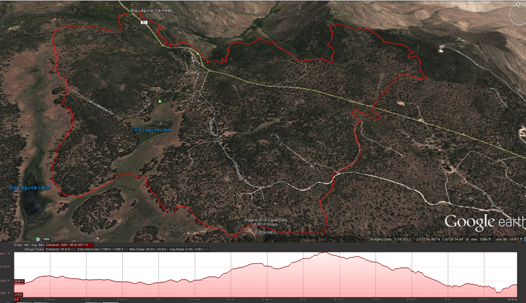
Distance: 10 miles .Elevation Gain: 962 feet. Time to complete: 4-5 hours roundtrip depending on fitness levels.
To Get There: Exit Interstate 8 at Sunrise Highway, just east of Pine Valley. Drive north, uphill, on Sunrise Highway, observing the mile markers, which increase from approximately mile 13.5 at the I-8/Sunrise Highway interchange. Drive to the Penny Pines Trailhead, mile 27.3 on the Sunrise Highway, where parking is available along the highway’s wide shoulder on both sides. An Adventure Pass is required.
This trail is usually talked about as being a moderately strenuous hike, I would say that if it wasn’t for the mileage I would classify this hike as an easy hike. The first six miles or so are strolling through the forest on the western side of the Sunset Highway, it isn’t until you cross the Sunset Highway to the eastern side that the trail becomes much more rocky, and a little harder under foot but still not strenuous in any stretch of the imagination. You could probably get a way with just regular running shoes on much of the trail but once you get to the PCT (Pacific Crest Trail) a sturdier pair of boots can really help with the ankles.
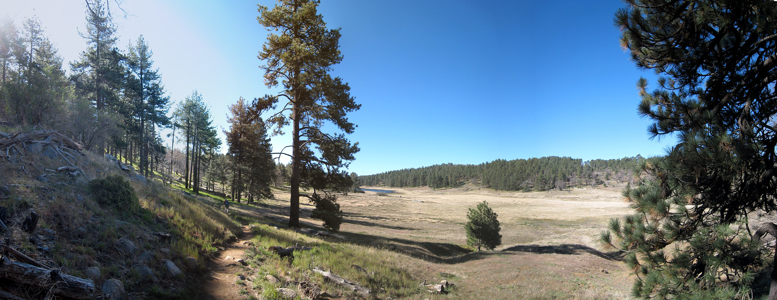
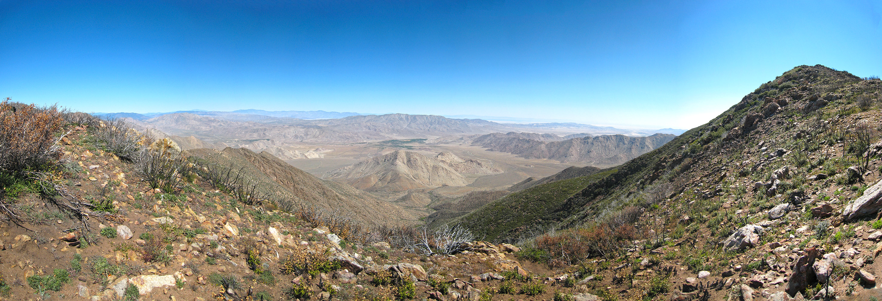
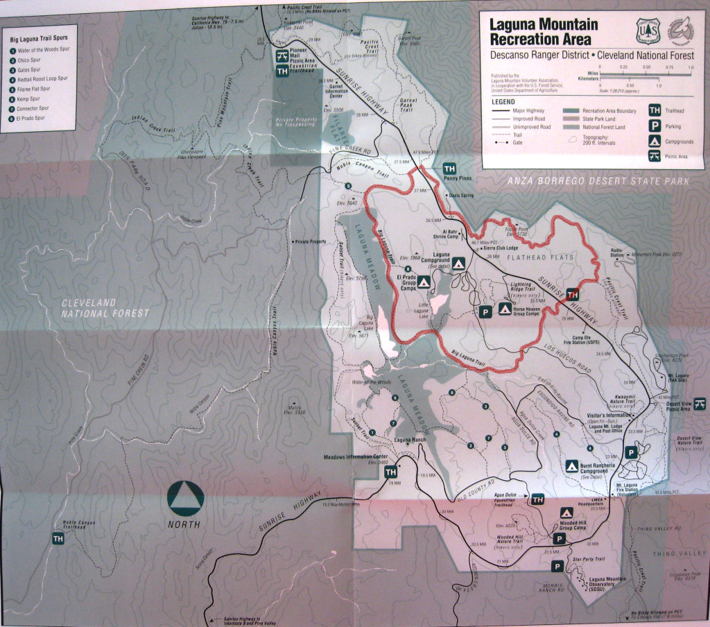
To start this hike you begin at the Penny Pines Trailhead, head counterclockwise across the Highway on the Western Side, starting briefly on the Noble Canyon Trail for about 600 feet until you see the trails split and Nobel Canyon continues on straight while Big Laguna Trail heads off to the left. Continue on the Big Laguna Trail and after about 1 mile from the trailhead you should start to see the Laguna Meadow. Soon after that you will see a trial split off to your right, this is the Sunset Trail, do not take this trail, remain on the Big Laguna Trail. As you continue on the Big Laguna Trail soak in the beauty, around 2.7 mile along the trial you should see another trail split off to the right for the Sunset Highway, do not take it, remain on the trail until about 2.9 miles at which point you should see a fence crossing a meadow to your right with a tinny little bridge next the trail. Head right over the bridge and continue on the trail as it hugs the fence line into the pines. Continue to follow the signs that have the little sticker for the Pacific Crest Trail. About 4.5 miles you should cross a dirt and gravel road, continue onto the other side, the single track now becomes a little dirt road until about mile 5 at which point it becomes single track again. Keep following the single track for another 4/10 of a mile until you come to the Sunset Highway, cross the highway to the other side and pick up the trial that will connect you to the Pacific Crest Trail. Around Mile 6 you should connect up with the Pacific Crest Trail, take a left onto the trail and head northwest towards the ridge and some fabulous views of the Anza Borrego Desert. Continue on the trail stopping to take in the beauty of the desert views while at the same time seeing the devastation of the 2013 Chariot Fire that sweep up and over the ridge from the desert side. Around mile 10.3 look for the short trail that connects you back to the eastern side of the trailhead, you can’t miss it, in fact you should have already seen your trailhead quite a bit before hand as you came closer to the highway.
Weather forecast for the Big Laguna Trail to the Pacific Crest Trail Hike:


