by sdpacatc | Jan 2, 2016 | Hikes
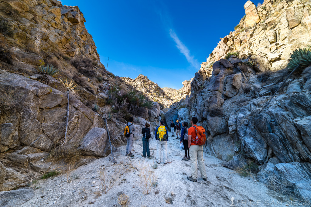
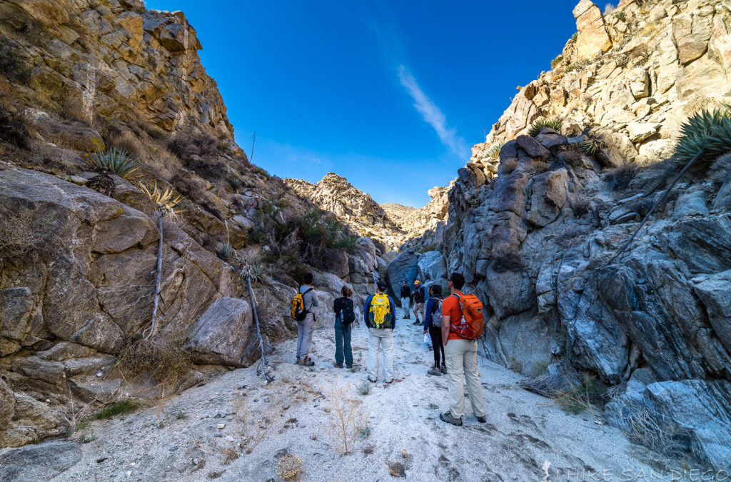
Several weeks ago I took advantage of the cooler weather to head out to Anza Borrego and do some hiking. This is really one of the best times of year to head out there. We decided to try out the Harper Cabin and Dams hike. It was a perfect day, it had just rained the day before but when we started the hike you couldn’t tell that a drop of rain had fallen in the area. With blue sky’s above us we headed out for a great romp in the backcountry of the Anza Borrego area. To get to this hike you will start with a little offroad adventure along the Pinyon wash for about 5 miles, you don’t need a 4 wheel drive, but you do need a SUV or truck. I also would not recommend doing this hike if has just rained, these rocks are slippery as is, let alone when they are wet.
Check out the Adventure:
Check out the Harper Cabin and Dams Hike
by sdpacatc | Dec 15, 2015 | Hikes, Uncategorized
Happy Holidays to my readers.
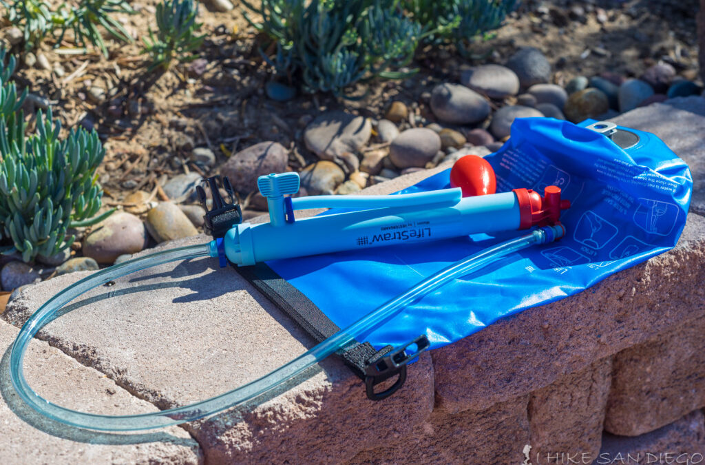
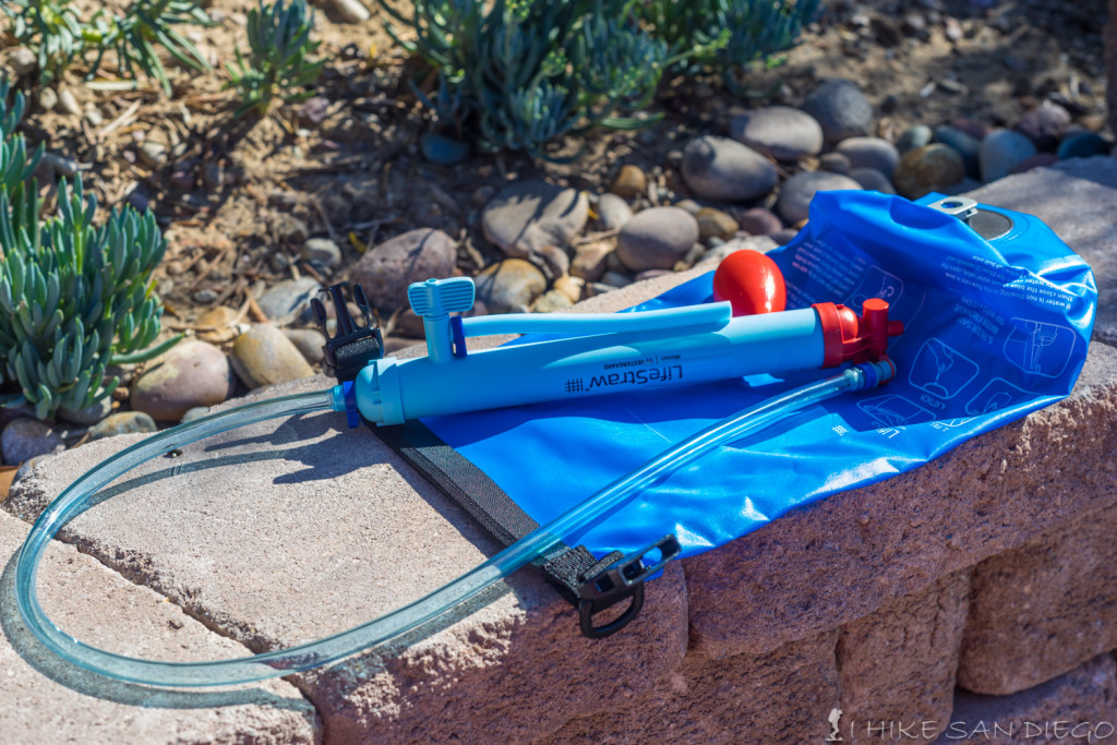
The good folks over at Eartheasy where kind enough to provide me a sample of the Lifestraw Mission to review.
Check out the review of the Lifestraw Mission Here.
Lifestraw Mission Review

by sdpacatc | Nov 24, 2015 | Hikes

Hi Everyone
It’s that time of year again, the holidays are here, and the official shopping season starts as soon as you put down your turkey infused fork and knife from your Thanksgiving feast. Now I didn’t come up with this idea, but what a great concept. R.E.I is opting out of Black Friday, instead of asking its employees and customers to brave the craziness that has become a national pastime R.E.I has decided to close it’s doors to its customers the day after Thanksgiving and asking its employees and customers to get outside and enjoy themselves in the great outdoors. What a awesome idea. So I decided to put together a small list of hikes for you the readers to enjoy with your family’s for OptOutside, but you don’t have to wait for Friday, you can even take one of these hikes on Thanksgiving morning to pre-burn all those great calories your going to consume. If you feel these hikes are to easy take a look around my web site and see if there are harder hikes that might tickle your fancy.
Thanksgiving Pre-Burn:
One of my all time favorite Thanksgiving Holidays was when my mother decided to hire our next door neighbor who was a gourmet cook and had her own catering business to cook a Thanksgiving feast for us and some visiting family. We lived up in the San Bernardino Mountains at the time. My Uncle, Aunt, and a few of my nephews came up for Thanksgiving and we all headed up to Big Bear for a hike at Cougar Crest Trail. It was a beautiful day and we had a great time hiking all day. We arrived back at the house after dark and famished. We opened up the door and the wonderful aroma of Thanksgiving greeted us as we walked into the house. Our Thanksgiving feast was waiting for us on the dining room table, smelling more delicious then it had any right to be, ( later in life when I was in the Army I discovered how almost any food hot was mouthwatering after being in the field for days on end, just like it can be after hiking all day) needless to say we devoured what was in front of us savoring every bite and not feeling guilty about any of it, just freaking awesome. A Thanksgiving I’ll never forget, Thanks Mom.
This is the feeling I would like you to enjoy, either working up an appetite for the feast that you have been waiting for, or putting all those delicious calories to use by hiking instead of shopping.
Easy to Medium Trails that the whole family can enjoy for Thanksgiving.
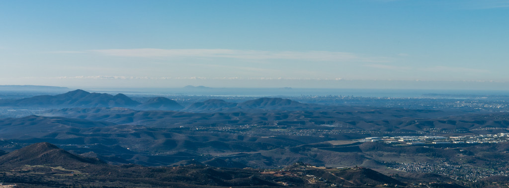
Looking at Cowles Mountain from Mt Woodson. With Cowles Mountain on the far left, followed by Pyles Peak as you head right, Mission Gorge and then the fortunas.
Cowles Mountain – The backside. Check out the Big Rock to Cowles Mountain Peak Hike
This has got to be one of the most used trail’s in the county, which is why I’m telling you to go the backside and not the usual trail that everyone takes going up the front of Cowles Mountain. Cowles mountain is probably one of the first trails that most people discover here in San Diego, the front trail is only 3 miles round trip and you are rewarded for your hard work with a great view of downtown from the tallest peak in the San Diego City area. It was a long time before I discovered the backside trail which is about 5 miles round trip and tough it is well used is far less crowded then the front trail heading up Cowles Mountain. If you find that 5 miles is just not enough you can connect into the Pyles Peak Trail at the top and add another 4 miles for a grand total of 9 miles. The Pyles Peak Trail is rarely used and each time I have been on it have been lucky to only bump into a handful of people.
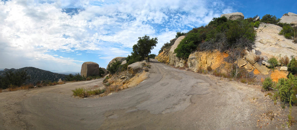
Heading up the service road along the backside of Mt Woodson
Mt Woodson Eastside Check out the Eastside Mt Woodson Trail
Mt Woodson has to be one of my favorite places to hike. I’ve used this mountain as a training ground to get ready for bigger and longer hikes and just as a good all around weekend workout. The Frontside Trail is about 7.5 miles round trip and will usually take 2.5-3 hours, while the backside or “east side” is only about 4 miles round trip taking about 45 minutes to get up and while lower in elevation gain, still just as steep as the frontside. I also like to take this trail up and watch the sunset from the top, since your car is parked on the highway you won’t need to worry about getting stuck in the Poway Lake Park area as you would on the frontside when they close and lock the gates at sunset. Realize that if you are heading up the backside trail you are parking along the highway, make sure there is nothing of value within sight in your car or you may regret it when you get back down.

Looking down at the Ramona Overlook on the Ellie Lane Trail
Ellie Lane – Near the Iron Mountain Trailhead. Check out the Ellie Lane Hike
Not to far from Mt Woodson is the Iron Mountain Trailhead and the Ellie Lane Trailhead. While Iron Mountain is the more popular out of the two I prefer to take the Ellie Lane Trail if possible. I enjoy the solitude back there away from the crowds more and the landscape and trail are a nice change from heading up the normal trail to the top of Iron Mountain. You can start the hike on the Iron Mountain Trail and then cut over to the Ellie Lane Trail about .4 miles into the hike or you can start the loop at the Ellie Lane Trailhead and loop back on that same trail as you come back towards The Iron Mountain Trailhead, either way its about 6 miles, if you decide to keep going to the top of Iron Mountain that will add at least another 3 miles to the hike. If you would like a shorter route you can start on the Ellie Lane Trailhead, head up towards Table Rock and then come back down on the Wild Horse Trail in the canyon which would cut the trail loop almost in half to around 3 miles or so. Either way its a great place for a hike.
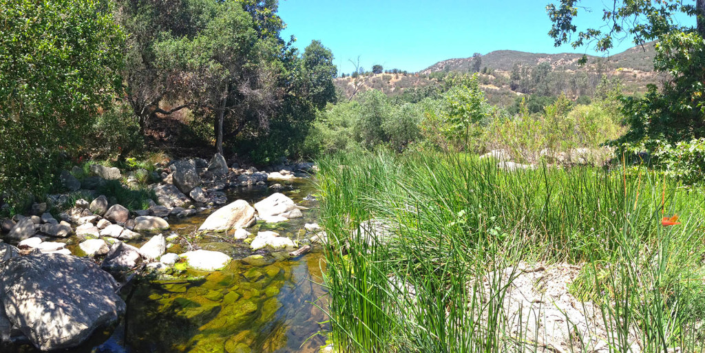
Crossing the creek at Elfin Forest
Elfin Forest Check out the “Way up Trail” at Elfin Forest
Elfin Forest is another short hike that is fun for the whole family. Its only around 3 miles round trip or so and has nice views looking back into the canyon as you climb up. Their are points for water at both the bottom and top not to mention bathrooms both at the trailhead and at the top of the trail near the lake. If you feel more adventurous you can keep going and connect up into the Lake Hodges Overlook Trail which would give you a wonderful view looking down onto Lake Hodges but will add close to 5 miles onto the hike. I’m not sure if it would be open during the holidays but there is also a wonderful interpretative center at the trail head which the kids might get a kick out of.
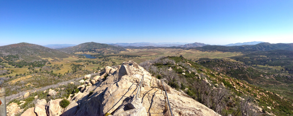
Looking north from the top of Stonewall Peak
Stonewall Peak Check out Stonewall Peak
Stonewall Peak is a great little hike out near Cuyamaca Peak and Julian. The trail is just over 4 miles long if you are just heading up to the top and back down or close to 6 miles if you take the horse trail on the back side and loop back towards the front. The view from the top is great and then since you are so close to Julian you can always head over that way and reward yourself with a little apple pie. Make sure to bring at least $8 for parking at the campgrounds immediately across from the trail head and possibly a light jacket, it may be a little colder up there at this time of year.

by sdpacatc | Oct 30, 2015 | Hikes

I took a hiking group up this hike last weekend and while I have been looking forward to trying this hike I do have to say that its exhausting. I woke up at 5 am to go meet my group and drive the 2 – 2.5 hours up to Idyllwild and get our permit before driving about 8 miles out of town along Hwy 243 toward Banning. Around 8 miles out you will see the turn off for Black Mountain Road, you will then take this dirt road ( you will want a truck or SUV ) for the next 8 miles until you get to the trailhead for Fuller Ridge ( its already an adventure getting there). It took us over 10 hours to hike this trail and I didn’t get back home until 12pm that night in San Diego, but I’m glad I did. There are some fantastic views along this trail. I would recommend that if you don’t want to abuse yourself trying hiking up and camping in Little Round Valley for the night, you can then either climb the last 2 miles for a side trip that night or the next morning making it a much more manageable trip.
Check it Out: Fuller Ridge Trail
by sdpacatc | Sep 25, 2015 | Hikes, Uncategorized
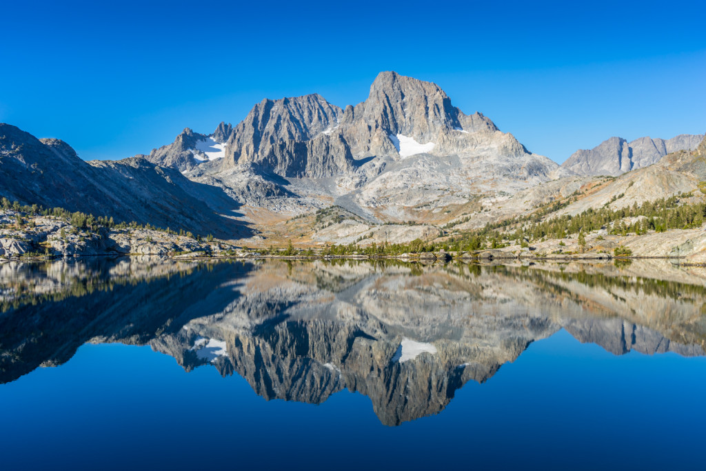
Garnet Lake early in the morning
What a great time of year for this hike. After sweltering heat in San Diego I was ready for some cold temperatures up in the Sierras and man did I get them, sleeping in long underwear and fleece top in my 15 degree sleeping bag. This was a great time of year to head up to Mammoth Lakes and a little luck was on our side. The rain the week before washed most of the smoke from the rough fire out of the air so that we didn’t even see it until we came back up out of the valley. The crowds where mostly gone, Reds Meadow Resort was getting ready to shut down 2 weeks after we left. What a great trip.
Read more about the hike to Garnet Lake from Agnew Meadows via Shadow Lake Trail.
Garnet Lake Hike from Agnew Meadows
by sdpacatc | Jul 16, 2015 | Hikes

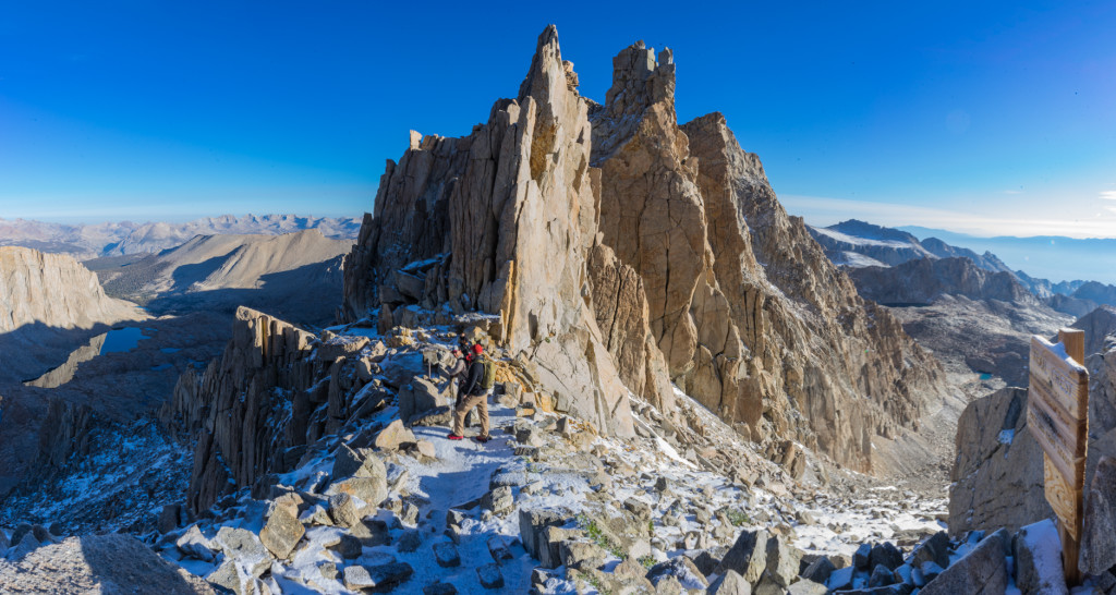
Trail Crest. Sequoia National Park on one side, and the front side of Mt Whitney on the other
This past weekend ( July 10th, and 11th ) I finally got a chance to climb Mt Whitey. I tried to climb this mountain 2 years ago and between the “Government Shutdown”, and then unexpected level of snow my friends and I only made it to the 12,000 foot level, which is still a great hike. This year a buddy of mine and his friends already had a permit, but without any extra room on it so I decided to see what it was like to get a walk in permit, a royal pain in the ass ! The only reason I was able to get a permit this year was a combination of the Recreation.gov web page I plastered to my home screen on my iPhone and checked constantly ( that’s how I discovered that a couple of permits had opened up at the last minute) and some really gnarly weather that probally scared some people off and allowed those permits to open up.
If you ever want to test yourself as a hiker and see the eastern sierras in their splendor, this is a great hike for you.
Check it Out:
Check Out the Mt Whitney Hike


