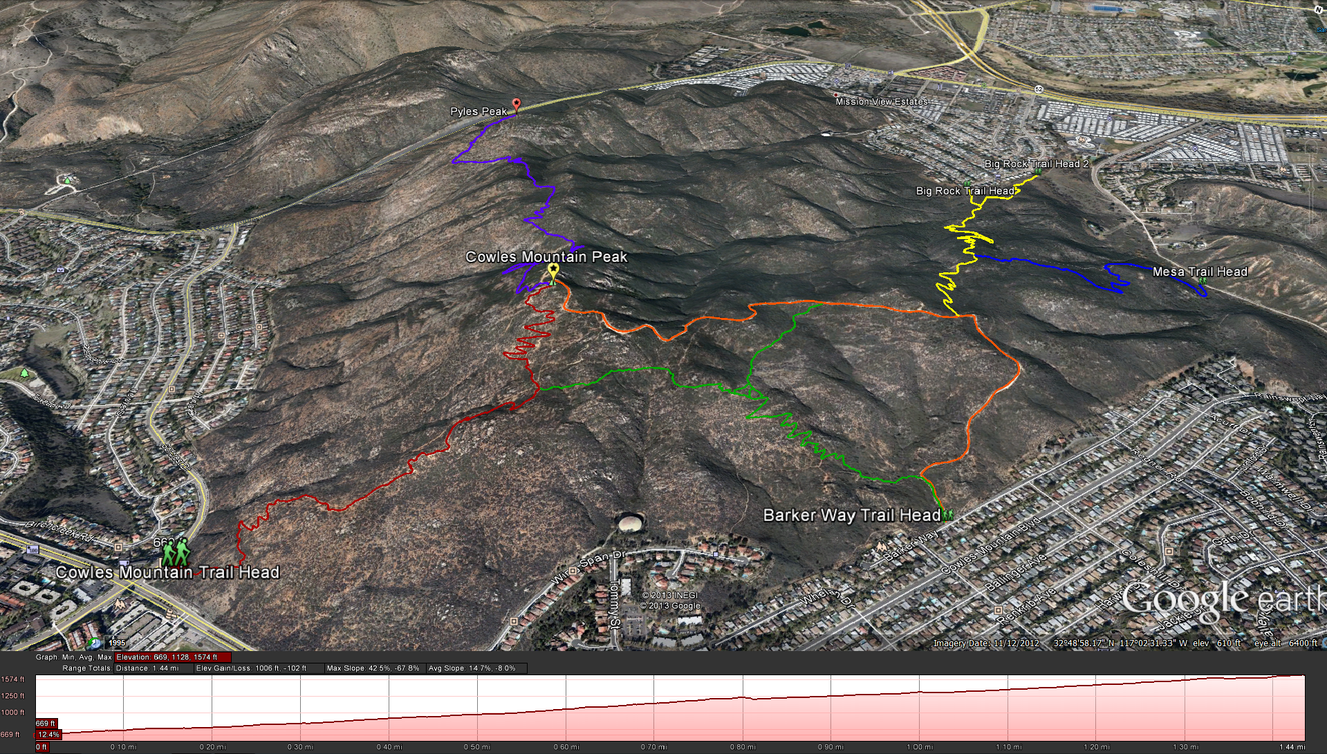
Printable Map:http://www.mtrp.org/trail_map/trail_map.asp
South Approach Distance:1.5 miles 1-way; 3 miles up/ back : Elevation Gain:950 feet: Time to complete: 25-45 minutes one way / 1 hour or more round trip
East Approach Distance: 1.5 miles 1-way; 3 miles up/ back: Elevation Gain: 1000 feet. Time to complete: 25-45 minutes one way / 1 hour or more round trip
Getting There: For the South Approach – exit interstate 8 at College Ave., go north for 1 mile. Turn right on Navajo Road and continue 2 miles to the Cowles Mountain Trailhead, located on the northeast corner of Navajo Road and Golfcrest Drive.
Getting There: For the East Approach – exit interstate 8 at College Ave., go north for 1 mile. Turn right on Navajo Road and continue 2.7 miles east to Cowles Mountain Boulevard, and turn left. Proceed 0.5 miles to Boulder Lake Ave., and make a left to reach Barker Way. Park close to the gated, unpaved service road heading up the east slope of Cowles Mountain.
Bathroom Facilities: There are bathroom facilities for the Cowles Mountain Trailhead taking the south approach, there is none for the east approach.
Permits and Fees: None
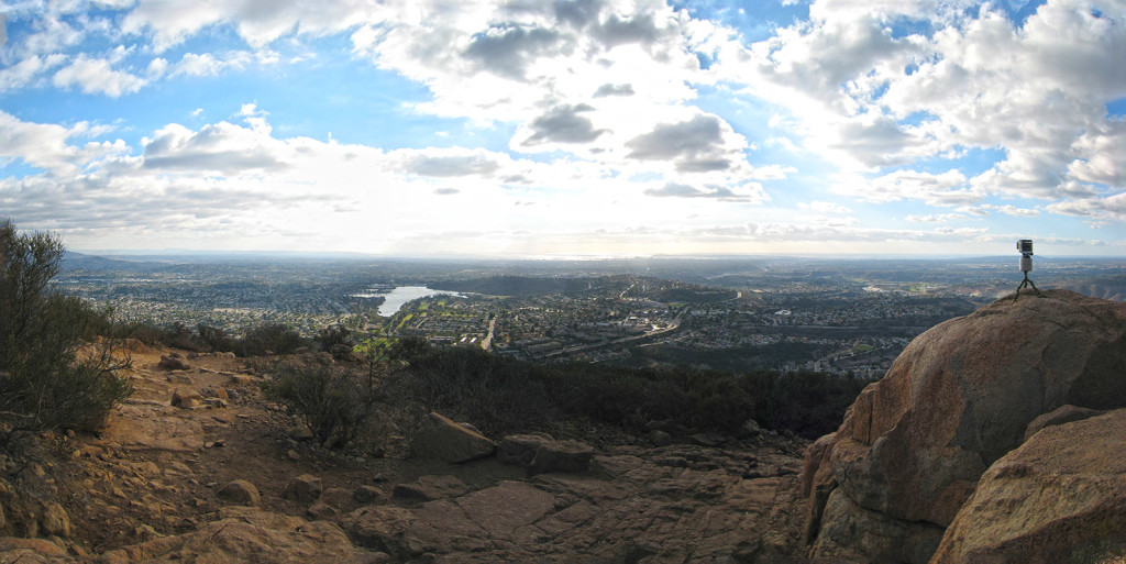
Video Time Lapse from the top of Cowles Mountain:
Cowles Mountain Time Lapse from Brad Spiess on Vimeo.
Weather forecast for the Cowles Mountain Hike:


