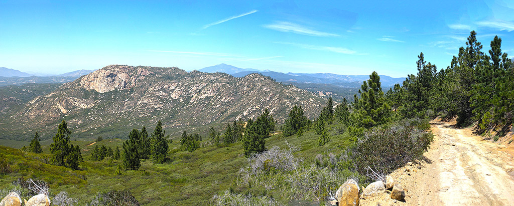
Looking at Corte Madera on the way down from Los Pinos
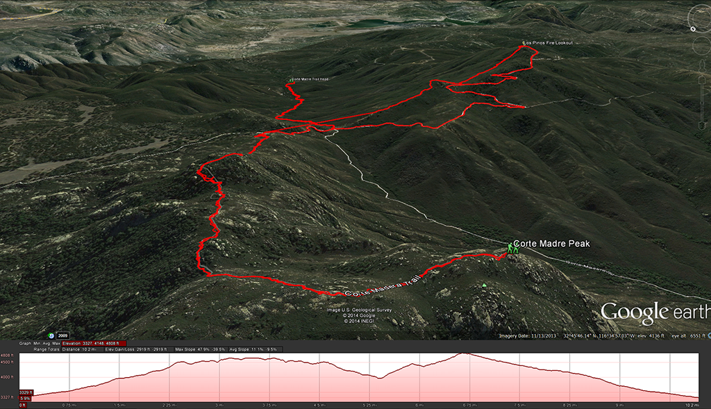
Distance: 11 miles out and back. Elevation Gain and loss : 2,097 feet. Time to complete: 5 hours round-trip
I was worried about the air quality after all the fires that where raging this past week in San Diego, but Sunday turned out to be a perfect day for this hike. If you head out to this hike remember that truck or suv would be a much better choice for the dirt road that you will start out on. The way we set up this hike was to hike up to Corte Madera first and then on the way back down to hike up to the top of Los Pinos Mountain where the fire lookout is. There are two different ways you can head up Los Pinos Mountain from the trail that you use to get to Corte Madera, one is to head along the dirt fire road to the top, the other option looks more straight forward, it was obviously a fire break that was cut on the mountain at one time and its pretty much a straight line, unless you have something to prove take the fire road.
When you get to the top of Los Pinos Mountain, if its open head up into the fire lookout tower. The guy who was manning the tower that day was Ron, Ron was nice enough to talk to us for about 20 min or so explaining everything that they looked out for from the tower, fires, illegal immigrants, drug running, its was a interesting conversation and the view from the tower is awesome.


