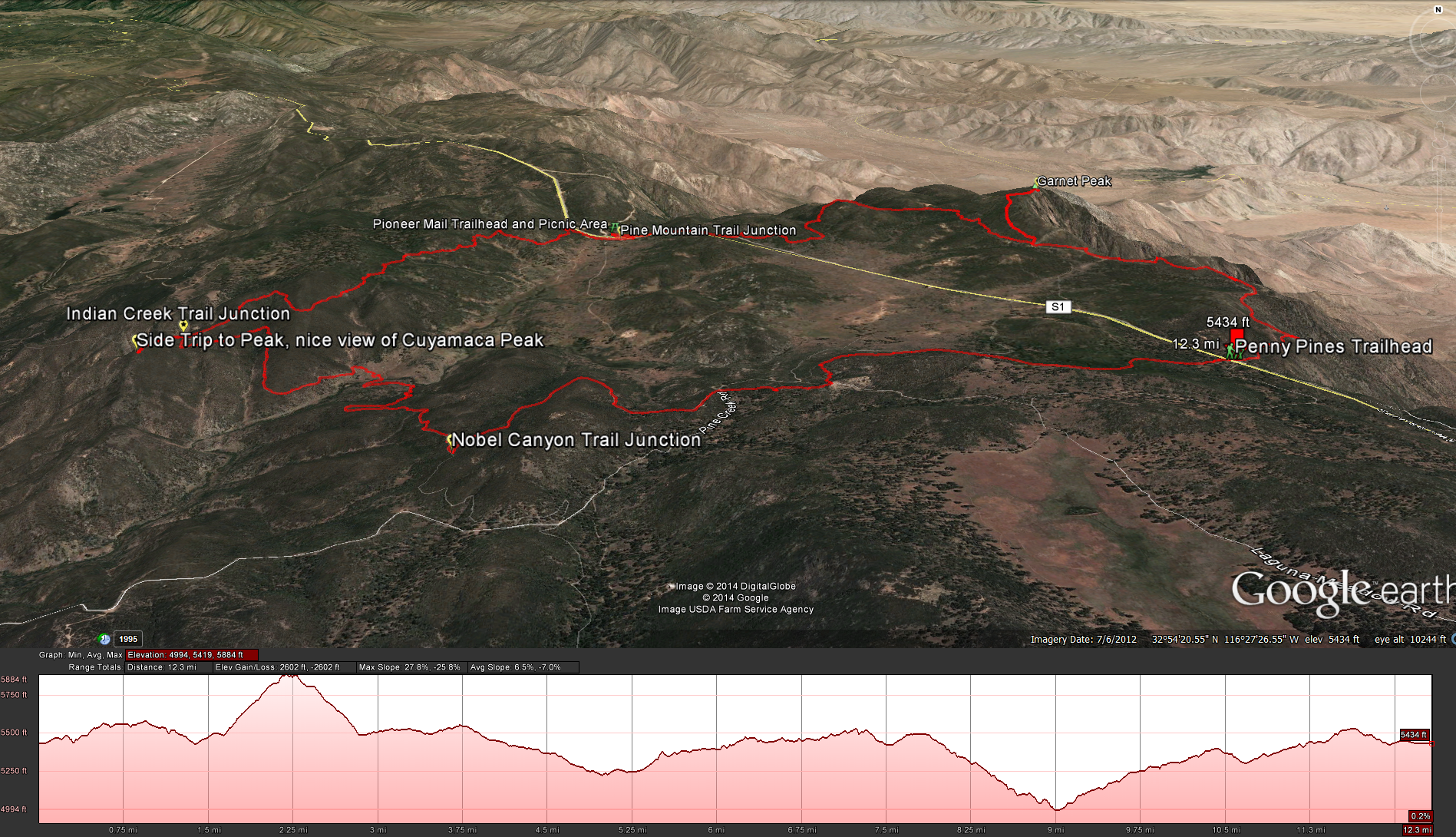
Distance: 12 miles .Elevation Gain: 1808 feet. Difficulty : Moderately Strenuous. Time to complete: 5-6 hours depending on fitness levels.
Permits Needed: No Permits, but you will need an Adventure Pass
Bring: 3 Liters of water or more. Good boots, your feet will be sore after hiking on all the rocks, and lots of sunblock, there is no shade on most of this hike.
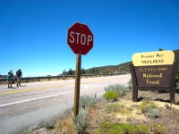
To Start this Hike : Take the Sunrise Highway off of Highway 8 going east out of San Diego. Head north on the Sunrise Highway until you reach the Penny Pines Trail Head right around mile marker 27.
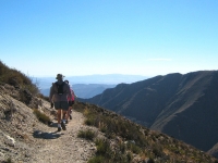
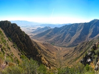
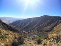
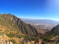
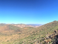
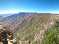
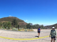
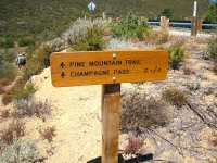
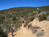
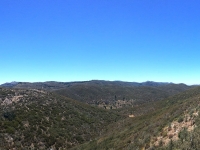
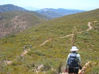
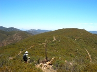
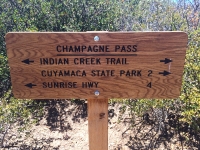
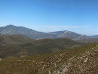
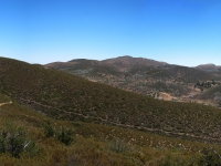
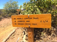
W e decided to take this trail counter clockwise even though every description of this trail has everyone going clockwise, I thought it would be prudent to climb to the top of Garent Peak early in the morning and early into the hike while we where all fresh, and the temperature was cooler. So right away you head out onto the Pacific Crest Trail and make your way north towards Garnet Peak. After about 1.6 miles on the Pacific Crest Trail you will come to a trail that takes you up to Garnet Peak, it only adds about 1.2 miles and 300 feet of elevation gain but the view is great. After you have your fill of the views head back down and connect back into the Pacific Crest Trail. After another 3 miles you should come into the Pioneer Mail Picnic Area. This is a good place for a break because its one of the only spots your going to find shade on this hike. There are a few picnic benches around and a public restroom for you to take advantage of. When you’ve rested enough, head out of the picnic area and across the highway where you will connect up to the Pine Mountain Trail. After hiking along the trail for another 2.4 miles you should reach the Champagne Pass, where you will connect up with the Indian Creek Trail. There is another little side trail straight ahead that will take you about 2/10 of a mile for another unique view along the trail, looking north towards Cuyamaca Peak and Stonewall Peak. Head back onto Indian Creek Trail and head down into the little valley towards the creek, in about a mile you should reach the creek, although when we went in July it was completely dry. After crossing the creek start heading back up the hill and in about a mile you should connect into the Nobel Canyon Trail. Take a little breather and then its just another 2.25 miles back to the trailhead.
Weather forecast for the Indian Creek Loop Trail:
