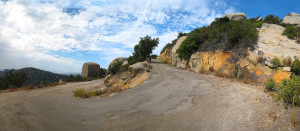
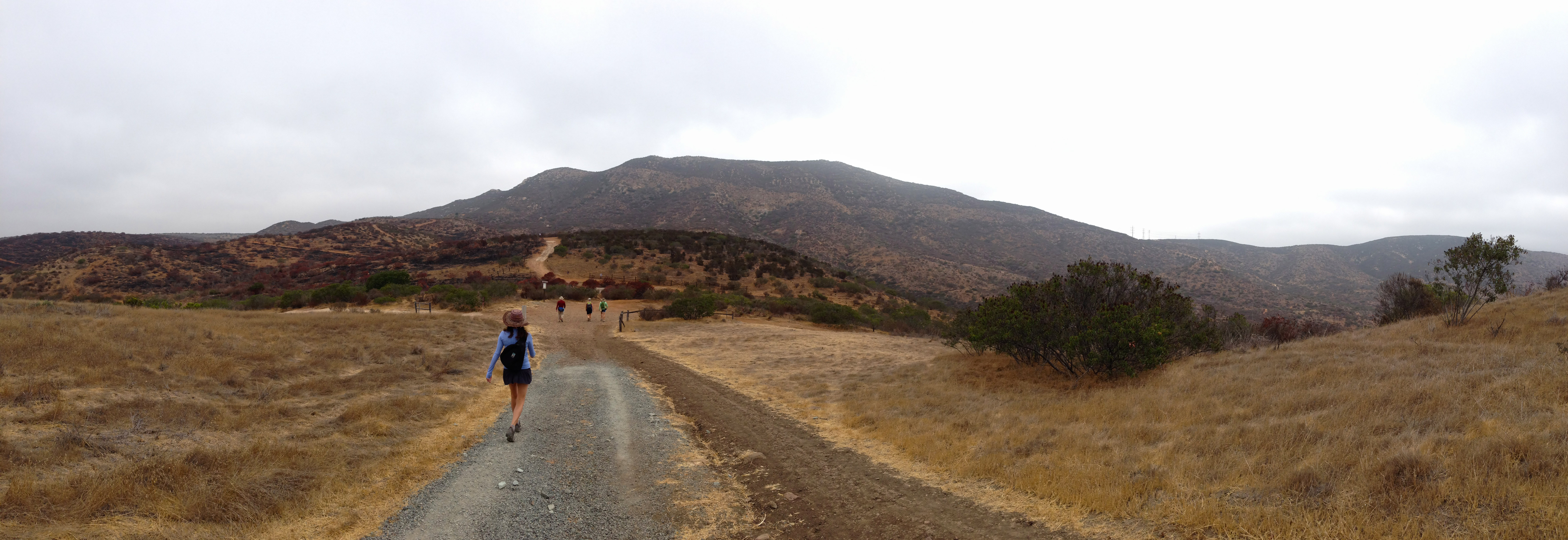
Heading up the service road along the backside of Mt Woodson
Mt Woodson The Eastern Approach ( or Backside)
Distance: 4.0 miles .Elevation Gain: 1500 feet. Time to complete: 1.5- 2 hours

3 Sisters Waterfalls
Distance: 4.0 miles .Elevation Gain: 1000 feet. Time to complete: 3 hours roundtrip

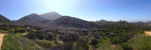
Eagle Peak Hike
Distance: 4.5 miles .Elevation Gain: 1200 feet. Time to complete: 2 – 3 hours roundtrip

Cedar Creek Falls
Distance: 5.2 miles .Elevation Gain: 1200 feet. Time to complete: 2.5 hours

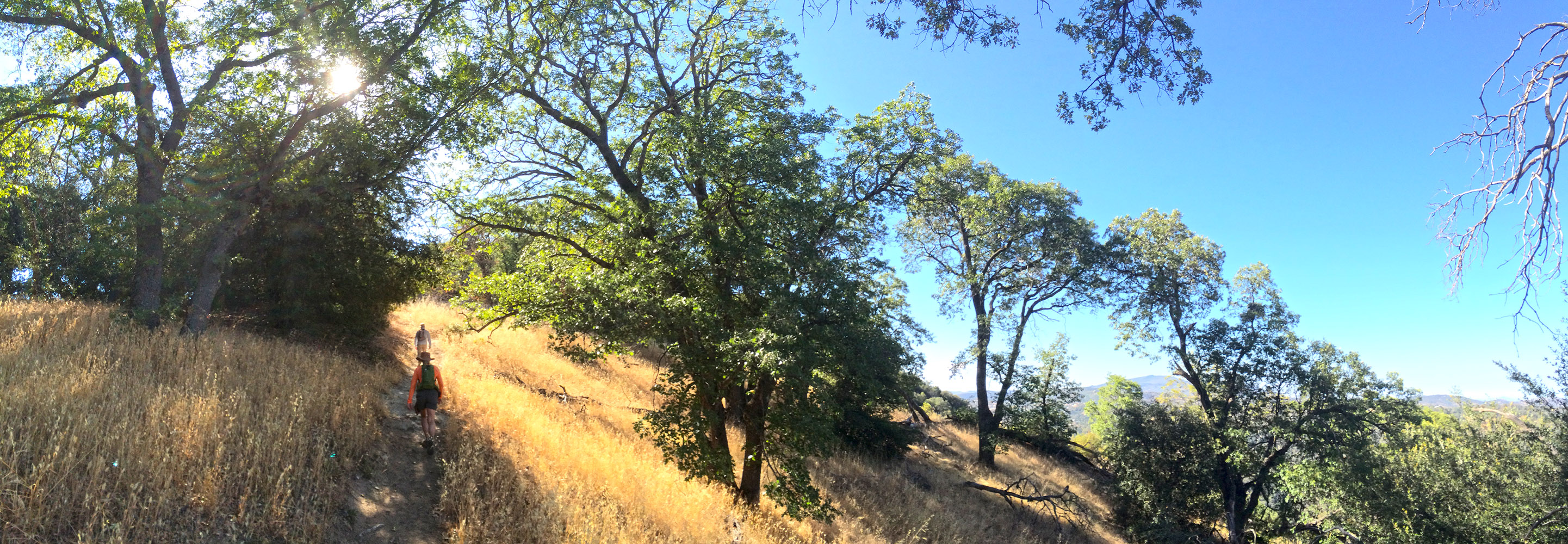
Big Rock Trail up to Cowles Mountain Peak
Big Rock Trail to Cowles Mountain Peak
Distance: 5.2 miles. Elevation Gain: 1400 feet . Time to complete: 1.5-2 hours.
Wild Lilac in full bloom on the way up Iron Mountain
Distance: 5.8 miles. Elevation Gain: 1067 feet . Time to complete: 2-3 hours.
Volcan Mountain
Distance: 5.84 miles .Elevation Gain: 1200 feet. Time to complete: 2 -3 hours roundtrip
Looking towards Cuyamaca Peak from Stonewall Peak
Distance: 5.8 miles . Elevation Gain and loss : 1700 feet Time to complete: 2-3 hours
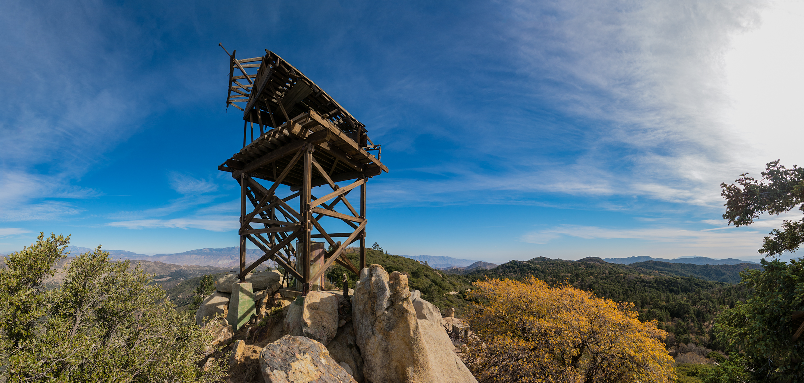
Looking east towards the desert behind the fire lookout tower on Hot Springs Mountain
Distance: 6.4 miles .Elevation Gain: 1036 feet. Time to complete: 3 hours roundtrip The highest point in San Diego County
Hiking up the wash towards Harper Cabin
Distance: 7 – 10.5 miles depending if you take side trips . Elevation Gain and loss : 1462 Feet Time to complete: 3-5 Hours
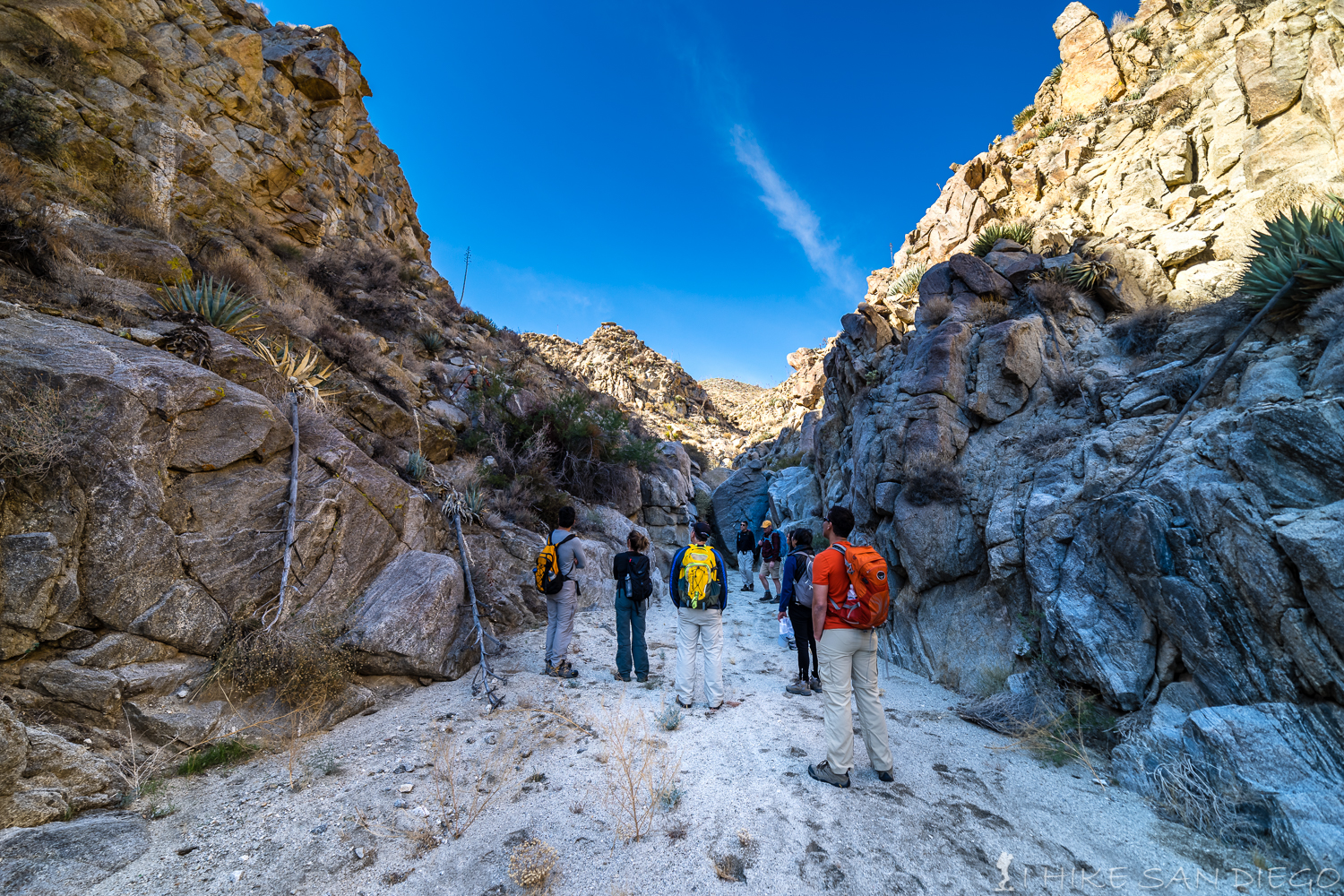
Looking down into the slot canyon from above
Distance: 7 – 8 miles . Elevation Gain and loss : 800 Feet Time to complete: 3-5 Hours
Looking down at Lake Hodges from the trails at Elfin Forest
Distance: 7.7 miles Elevation Gain: 1,971 feet. Time to complete: 3 – 4 hours depending on fitnees levels.
Heading towards North Fortuna Mountain
Distance: 7.20 Miles. Elevation Gain and lost : 2,306 feet. Time to complete: 3 – 4 hours depending on fitness levels.

Corte Madera Mountain
Distance: 7.76 miles out and back. Elevation Gain and loss : 2,375 feet. Time to complete: 3 – 4 hours round-trip

A beautiful day on top of Morena Butte in San Diego
Distance: 8 miles out and back or about 10 miles as a loop. Elevation Gain and loss : 1500 feet. Time to complete: 3-5 hours round-trip
Hiking up Boucher Hill towards the fire lookout tower.
Distance: 9 Miles. Elevation Gain: 1300 Feet. Difficulty : Moderate. Time to complete: About 4 hours or so.
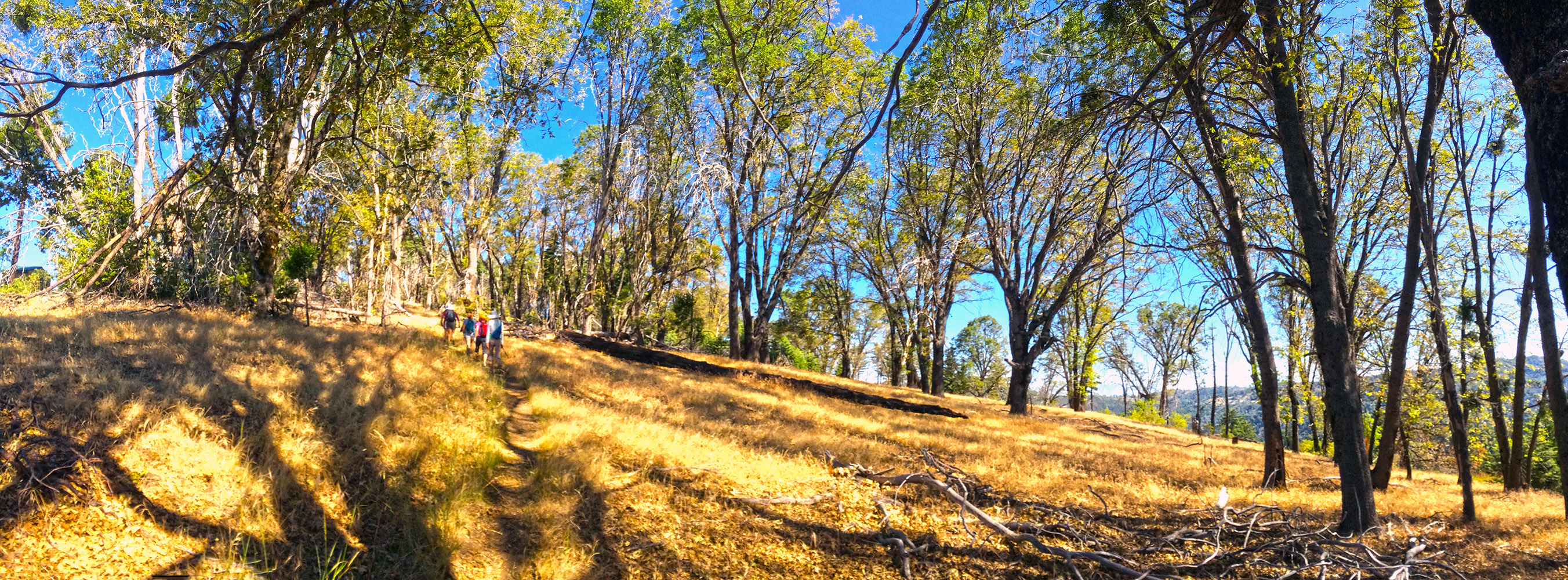
Santa Ysabel Eastern Preserve
Distance: 9 Miles. Elevation Gain: 1300 Feet. Difficulty : Moderate. Time to complete: About 4 hours or so.
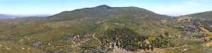
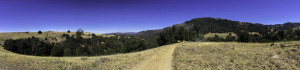
Eagle Rock, with Volcan Mountain in the southeast and Palomar Mountain in the southwest
Distance: 10 miles .Elevation Gain: 1000 feet. Time to complete: 3 – 4 hours roundtrip. Difficulty: Moderate
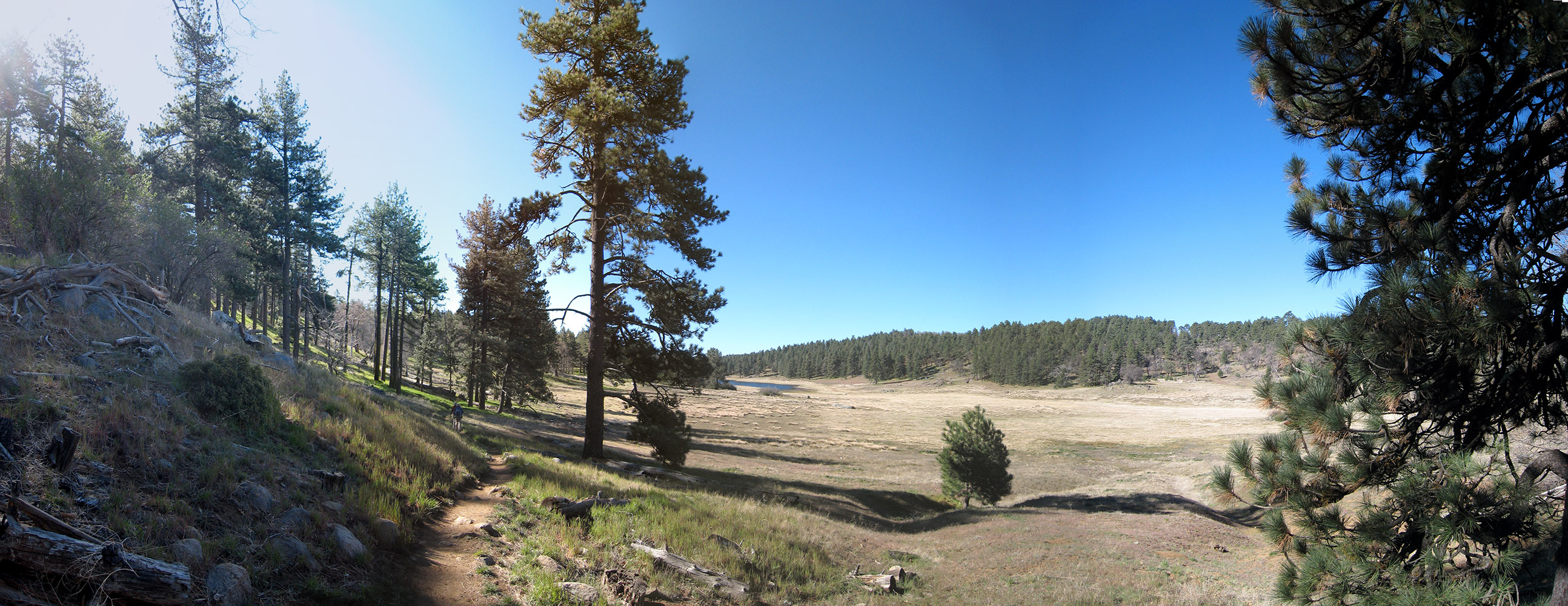
Hiking through Laguna Meadow with Laguna Lake in the distance on the Big Laguna Trail
Distance: 10 miles .Elevation Gain: 962 feet. Time to complete: 4-5 hours roundtrip depending on fitness levels.
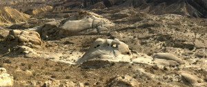
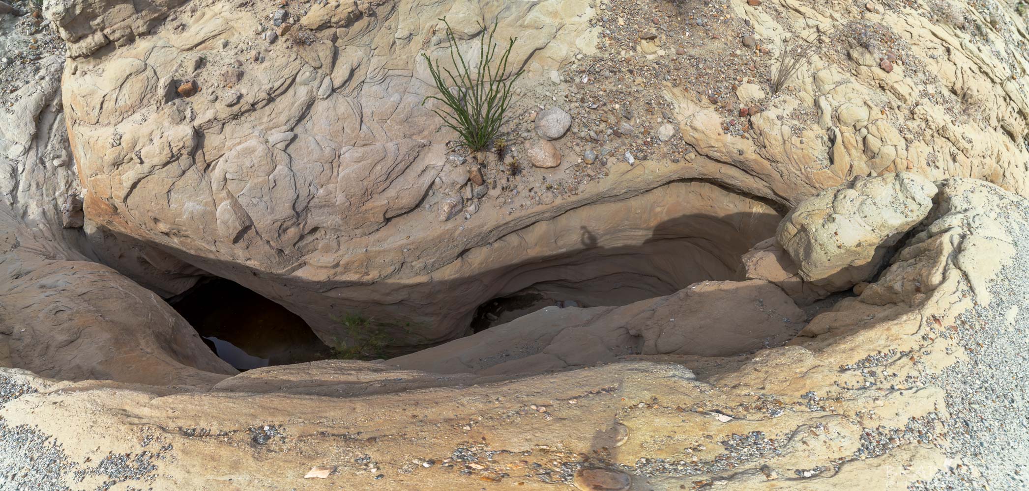
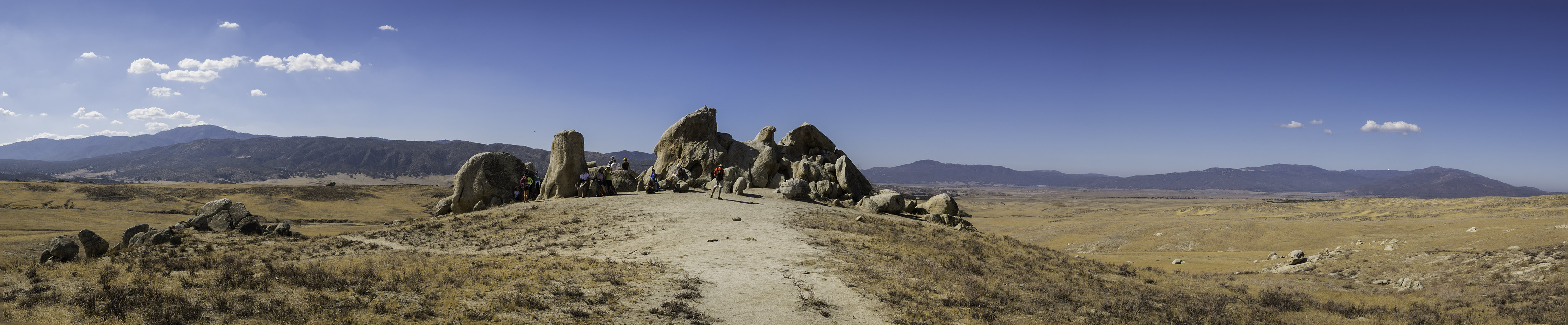
Looking down at the Wind Caves in Anza Borrego’s Domelands
Anza Borrego Domelands: Wind Caves & Slot Canyon