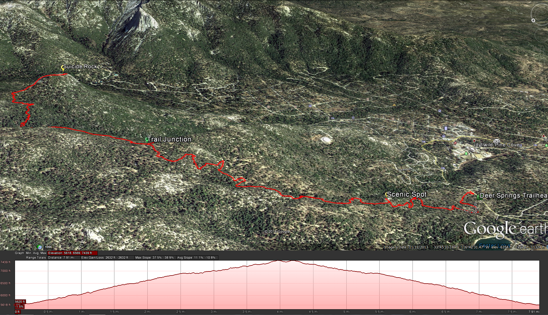
Distance: 6.6 miles. Elevation Gained: 2000 feet. Top Elevation : 7500 feet. Moderate Trail.
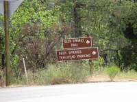
To get there: take the 243 east out of Idyllwild for 1 mile until you see the signs for the Deer Springs Trail, it will be directly across the highway from the Idyllwild Nature Center. Google maps directions for the Trail-head.
Permits Needed: You will need an Adventure Pass for your car, and a Wilderness Permit from the US Forest Service.
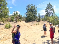
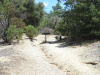
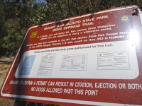
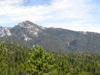
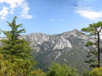
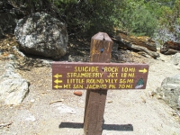
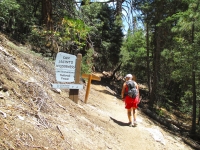
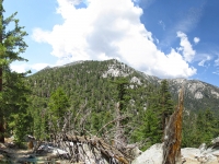
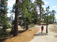
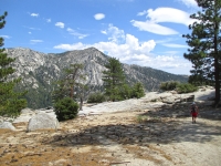
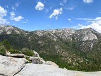
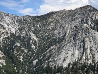
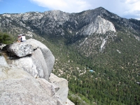
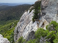
The trail starts out just off the highway. Head up the slope and you will see a sign for trail 3E17. Head out on the trail and you will quickly see the Sign for the Mt San Jacinto Deer Springs Trail, it will tell you what permits you will need for this trail. Continue on up the trail, the trail will gain about 1300 feet in the first 2.50 miles at which point you will connect up with the side trail to Suicide Rock, but on the way make sure to check out the first scenic spot at about 0.9 miles into the trail. As you come to the junction with the Suicide Rock Trail, make sure you take the trail to the left, it looks like it goes to the right but it doesn’t. After taking the junction you will gain about another 600 feet of elevation in 1 mile. About 1/2 way along the last mile you should come across Marion Creek, I was surprised to see a small amount of water still flowing down hill in the middle of July ( it must be feed by a spring) but I wouldn’t rely on that as your water source. At the last part of the trail you will wrap around the eastern side of the mountain and then onto Suicide Rock. There is not much shade on the rock, but there is plenty of foliage around that you can find some shade under, sit have lunch and enjoy the view.
